Last Updated on January 15, 2024
Lake Titicaca was our last stop in Bolivia. We arrived by bus from La Paz, and from here, we would cross into Peru. In fact, Lake Titicaca is shared by Bolivia and Peru, and we were only a few miles away from our fifth South American country when we spent a few days on the shores of one of the world’s highest lakes.
A random encounter at the lake
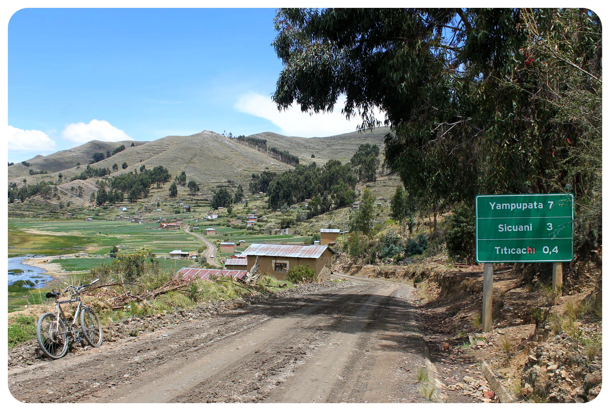
When we met Don Hilario, we were dead tired. We had already walked 15 kilometers, at an altitude of 12,600 feet. This random encounter, (which wasn’t so random after all), was exactly what we needed to keep us going for the last five kilometers of the hike. 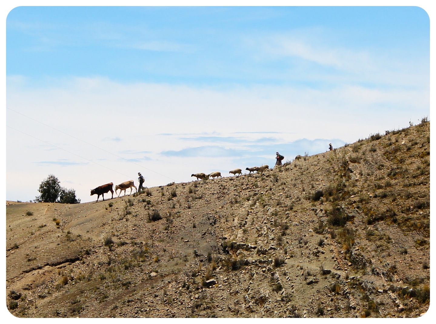 The old Bolivian campesino who lives right on the shore of Lake Titicaca doesn’t get to see foreigners very often. So when he does, don’t expect to be let off the hook any time soon. Our Lonely Planet guidebook, even though mostly unreliable in South America, was spot on in this case when it briefly mentioned you might run into an odd character named Don Hilario on the hike to Yampupata.
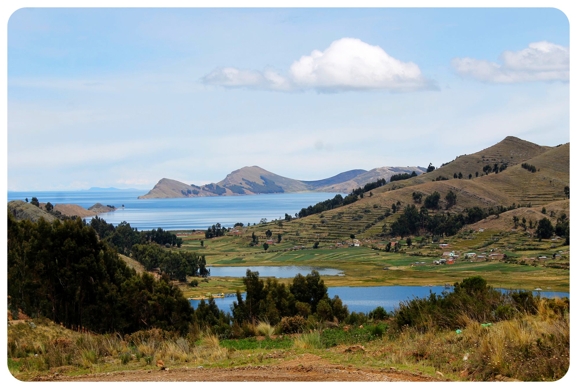 Yampupata itself is not really a tourist destination, a sleepy village on the lake shore, which is why there aren’t many unknown faces passing through here. And even though the village is connected to Copacabana, the closest town, via a dusty dirt road, it is far enough to let you forget that you were anywhere near a larger settlement. Out here, the lake shore farmers and fishermen live pretty much the same way they did fifty years ago.
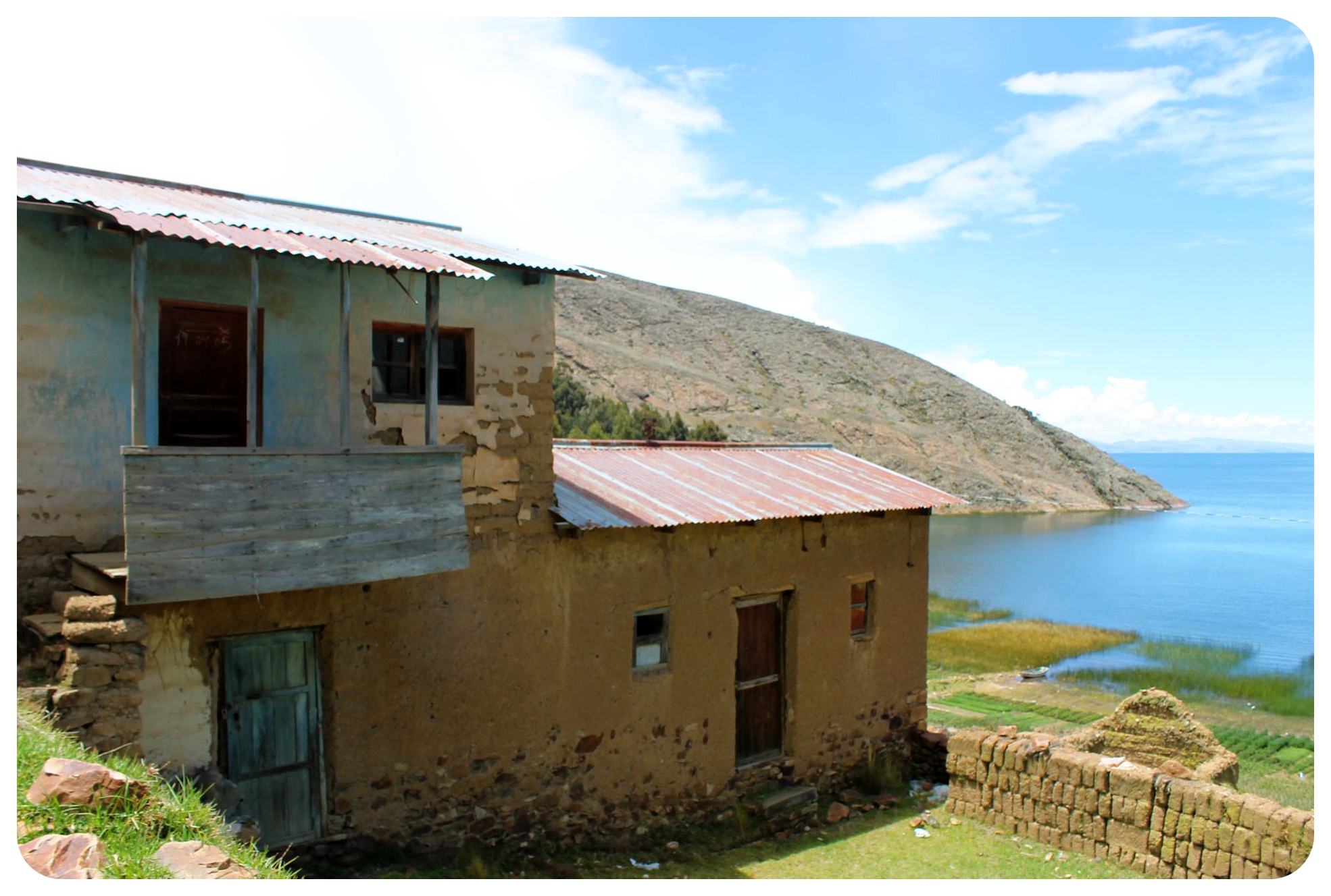 Lonely Planet also mentioned that Don Hilario had a large collection of postcards from all over the world, which he would show hikers if they were lucky, and sure enough, after sitting us down on one of the reed boats that are typical for Lake Titicaca, he went into his little hut and returned with two hands full of postcards. We were grateful to sit and rest for a few minutes, so we eagerly read every single postcard he showed us, from places like Canada, the US, Holland, the Czech Republic, New Zealand and Germany.
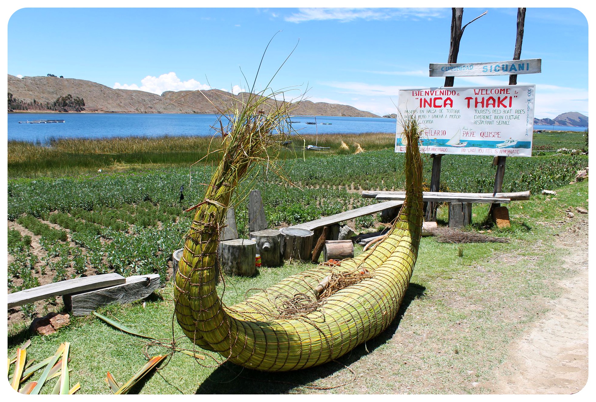 After admiring his postcard collection he offered us a ride in his new motorboat – the reed boat in front of the house seemed to be purely for show these days – but we decided to continue walking before we’d loose the last remaining bit of energy we still had.
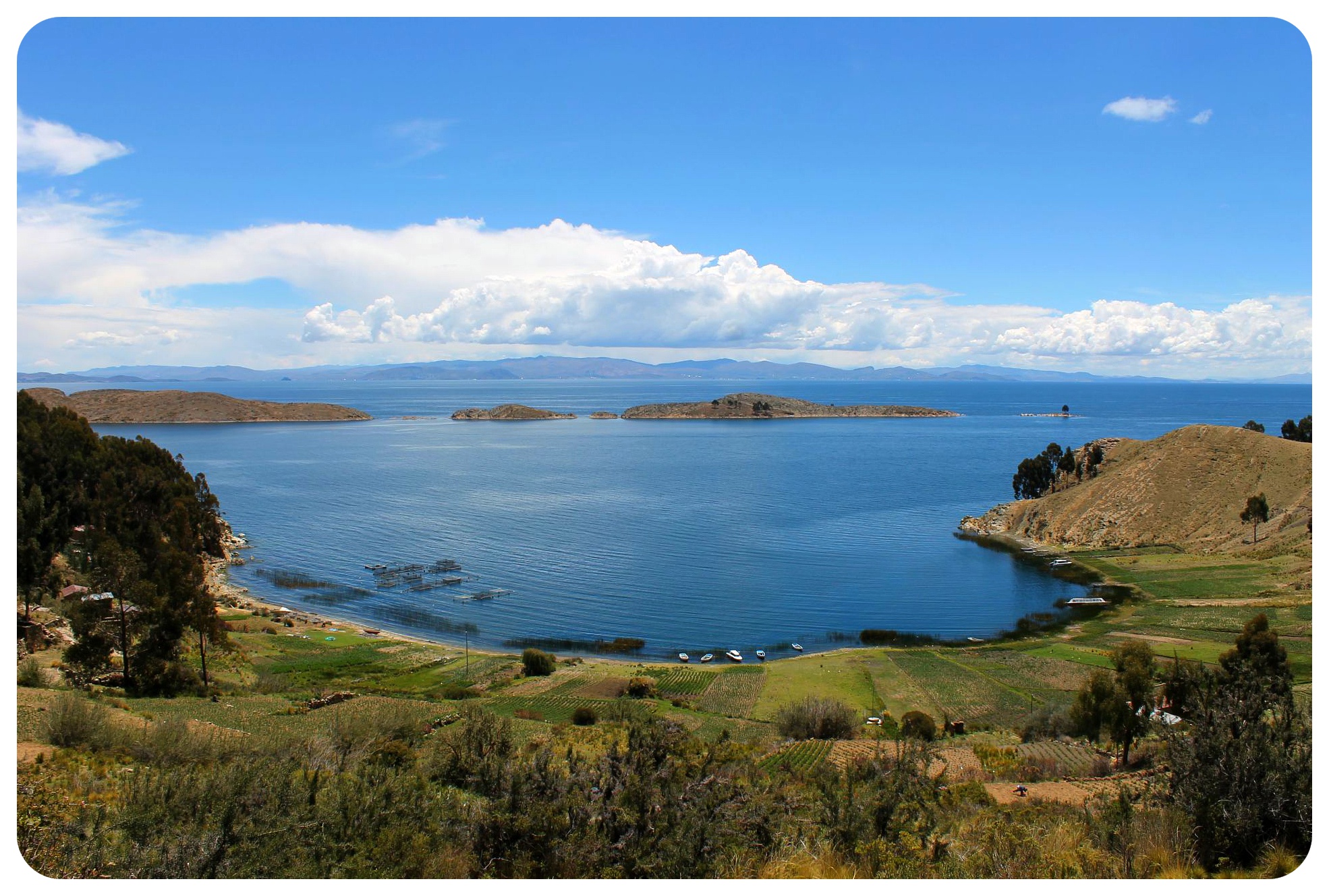 It had taken more than four hours to get to Sicuani, the tiny village where Don Hilario lived, and it was our first ‘warm-up’ walk for our five-day trek to Machu Picchu a couple of weeks later. We were both still recovering from sickness and had never hiked at such a high altitude, so we figured it was time to test our fitness levels.
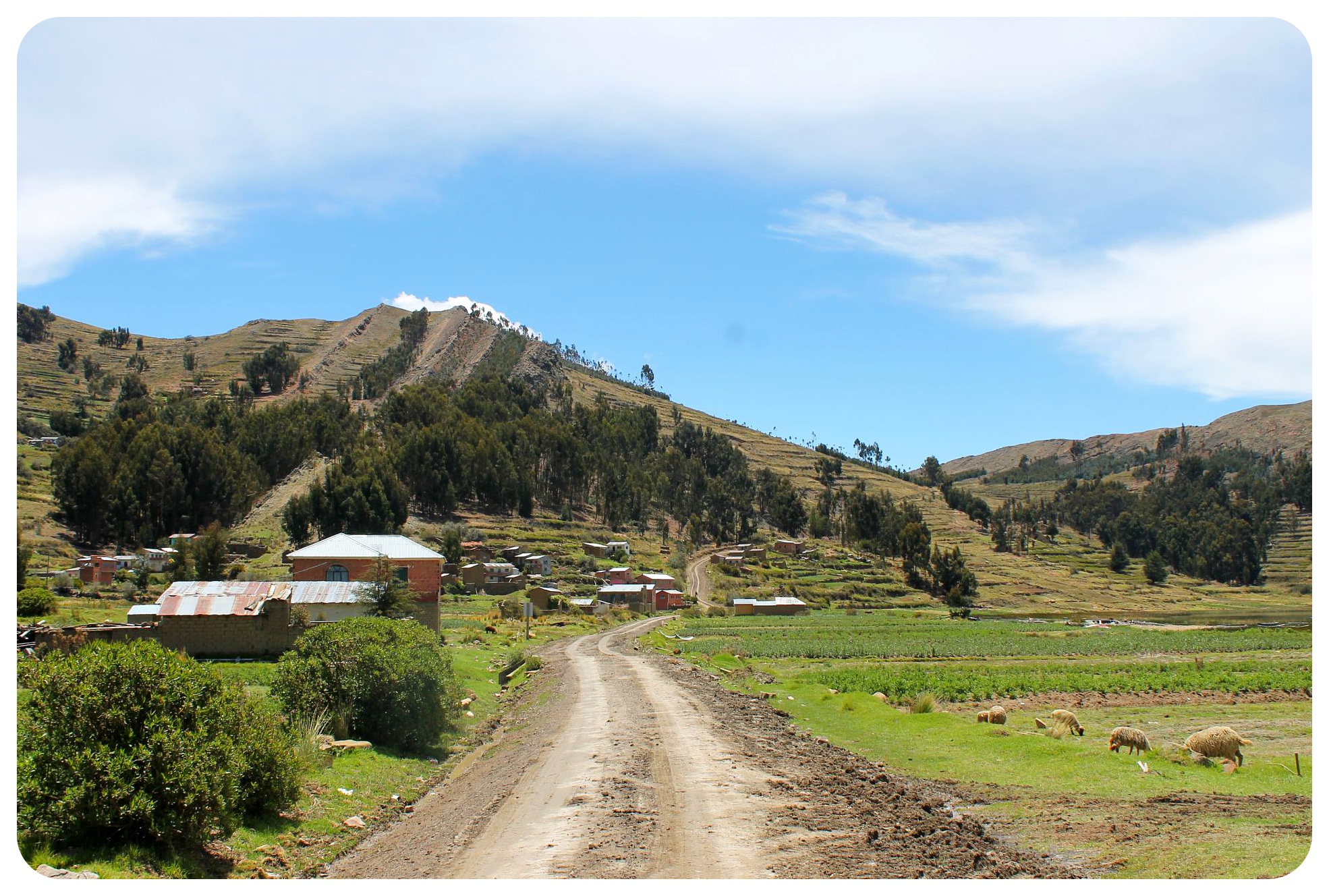 This hike, which we had found in the Lonely Planet guidebook, sounded just right for our first test run. It seemed to be mostly flat, so it would be a good way for us to ease into the high-altitude trekking.
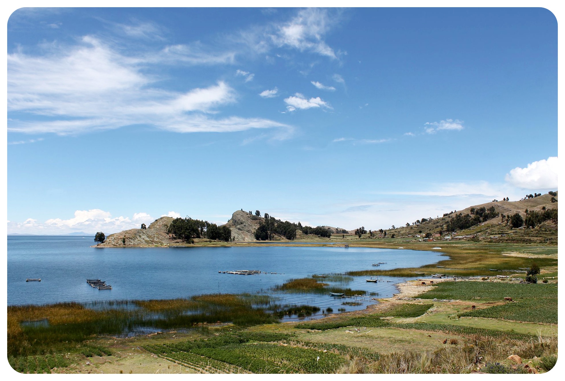
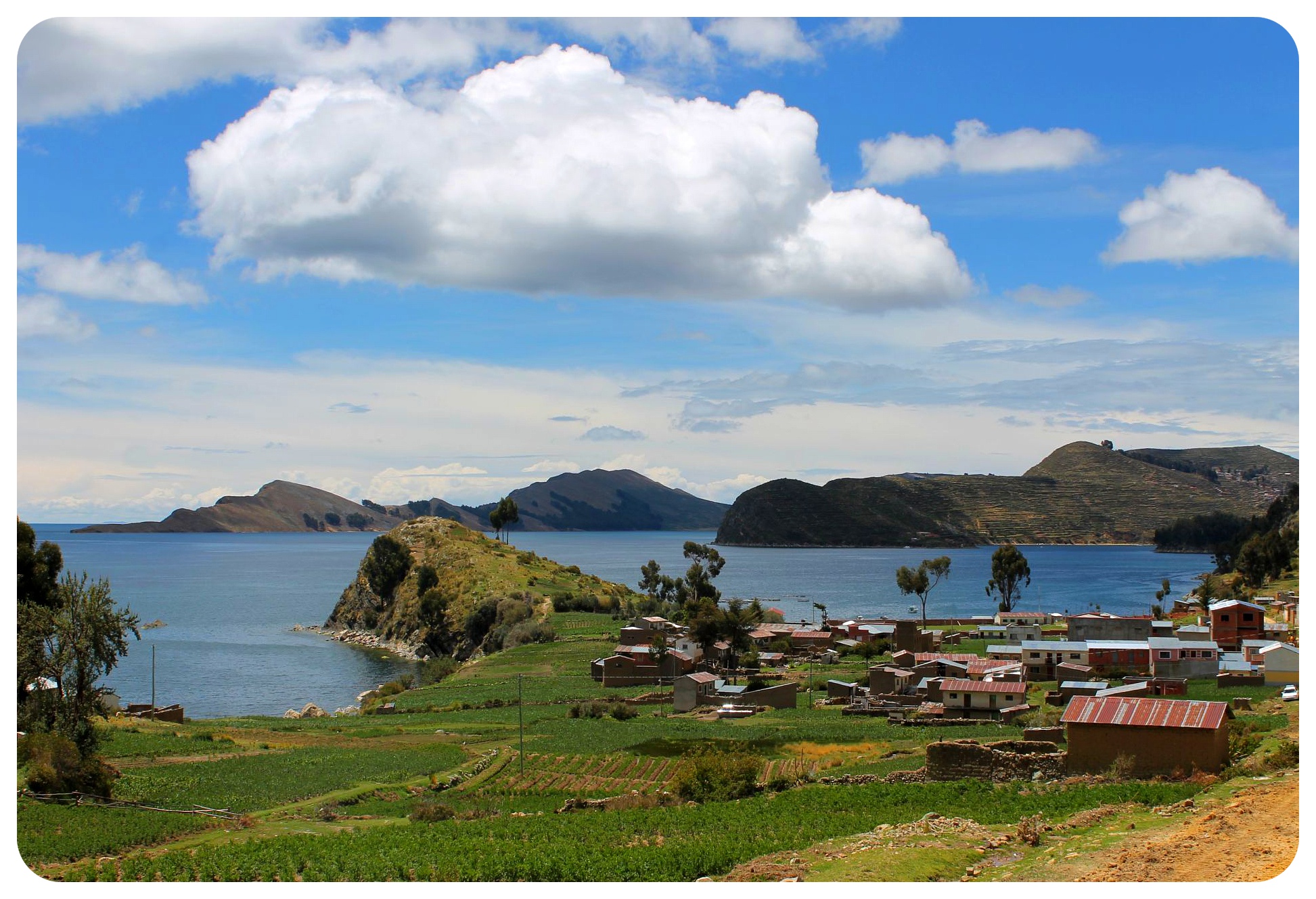
The perfect day hike from Copacabana
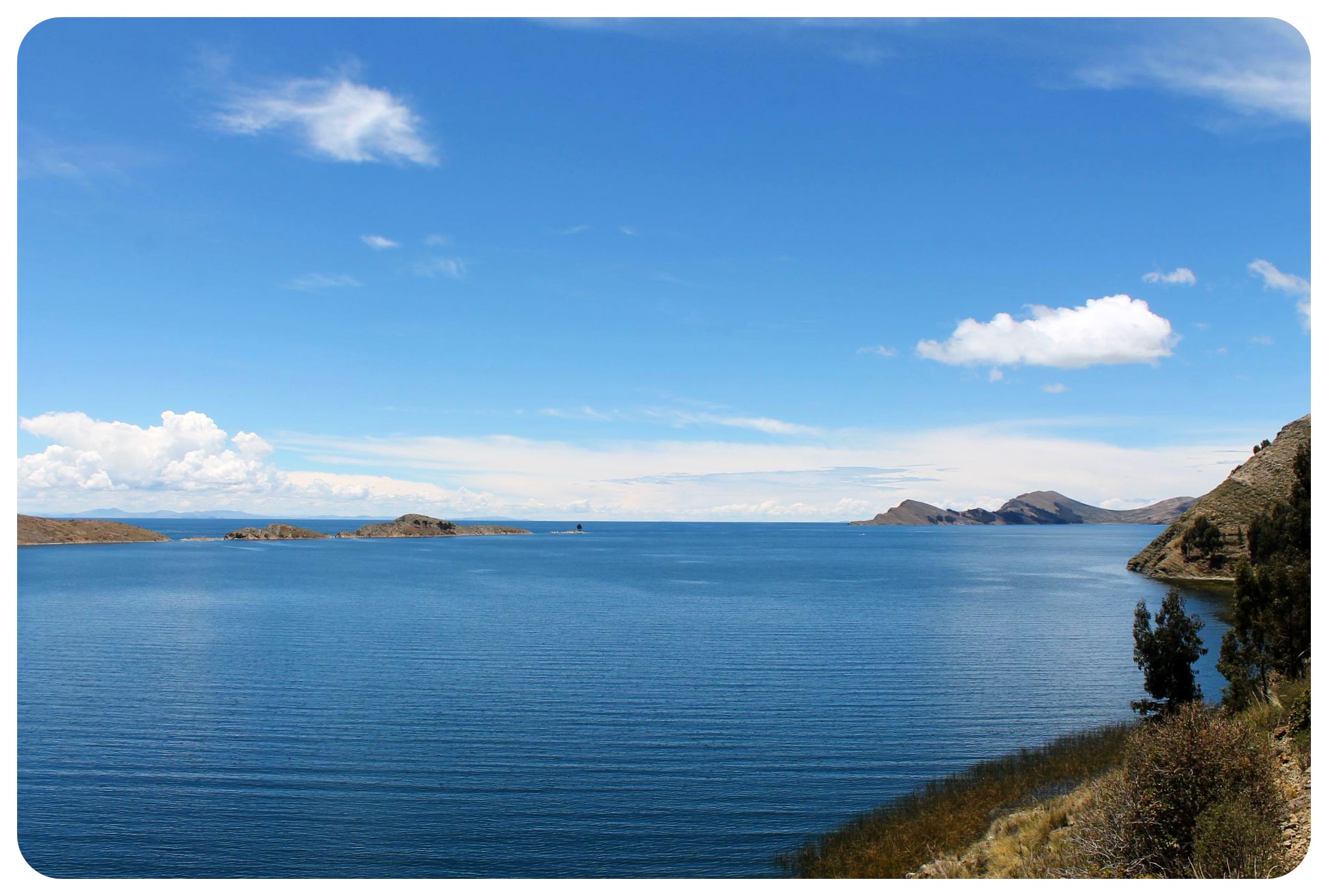
I was also keen to get out of Copacabana, were we had based ourselves for a few days, because Copacabana turned out to be a town I didn’t care too much for, except for the fantastic lake views from top of the Cerro Calvario mountain maybe. 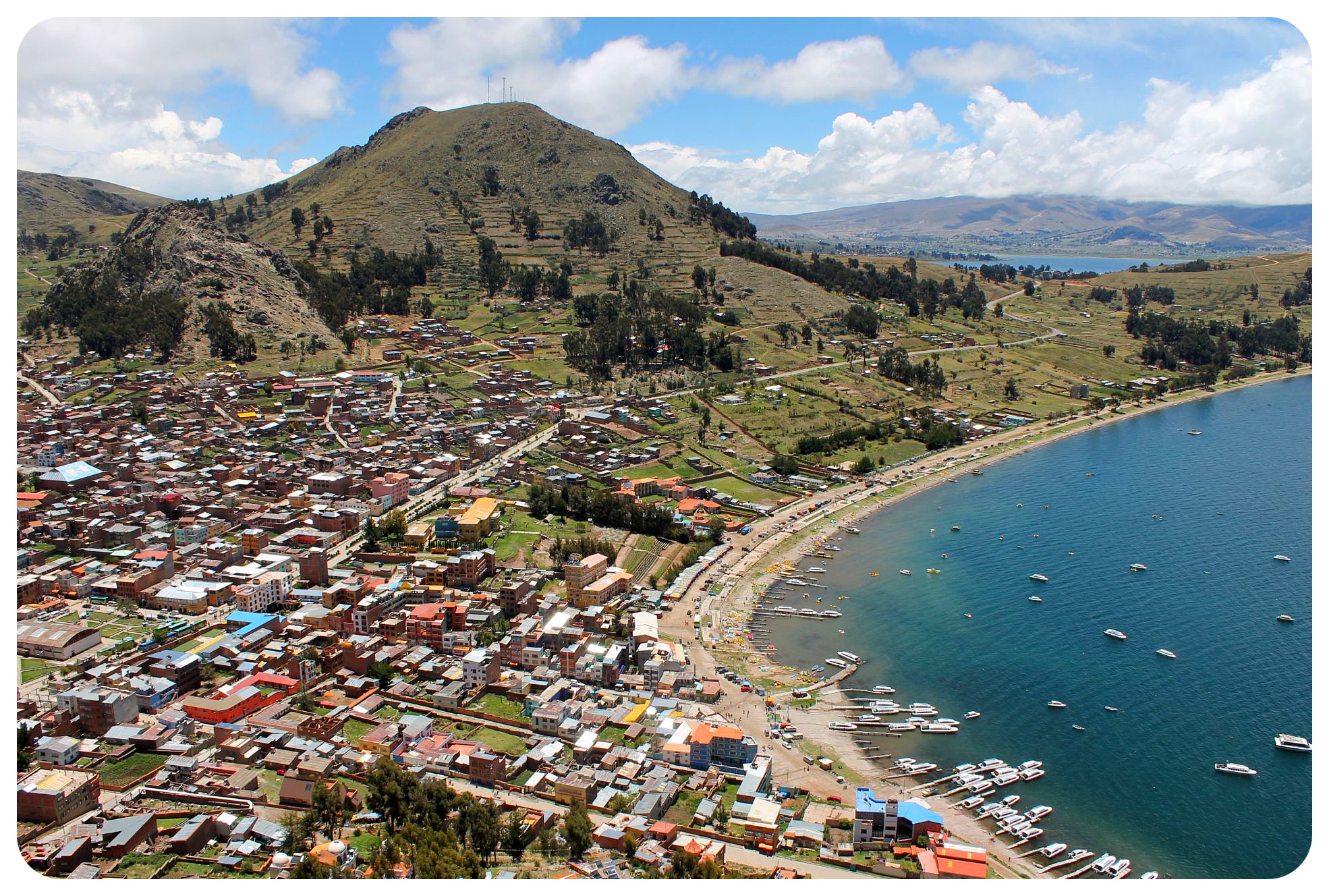 Lake Titicaca itself is the true attraction here, and not only because it is the highest navigable lake in the world, but also because of its mystic aura. It was here where, according to the beliefs of the Inca, the creator god Viracoca rose up and create the sun and moon, stars, and the first human beings. This all took place on the appropriately named Isla Del Sol and Isla De La Luna, both only a short boat ride from Copacabana, and even closer from Yampupata. Isla Del Sol would be the place of our second warm-up hike.
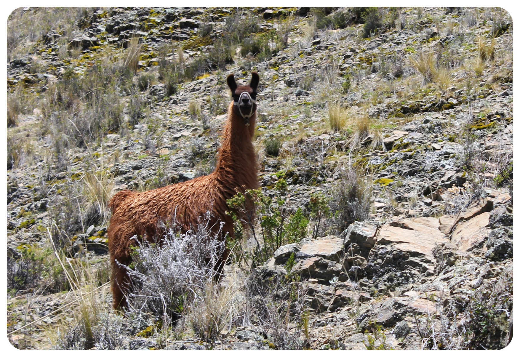
 During the hike we barely met anyone. Every now and again a motorcycle would pass us, but if we didn’t pass through a village, we were on our own, aside from the odd llama or some sheep and pigs.
 Three kilometers into the hike, we passed a small set of Inca ruins, which we had to ourselves, and another two kilometers later we reached Chani, a small village where tourists from Copacanana who booked a boat ride on the lake were taken to experience a floating restaurant (a tourist trap).
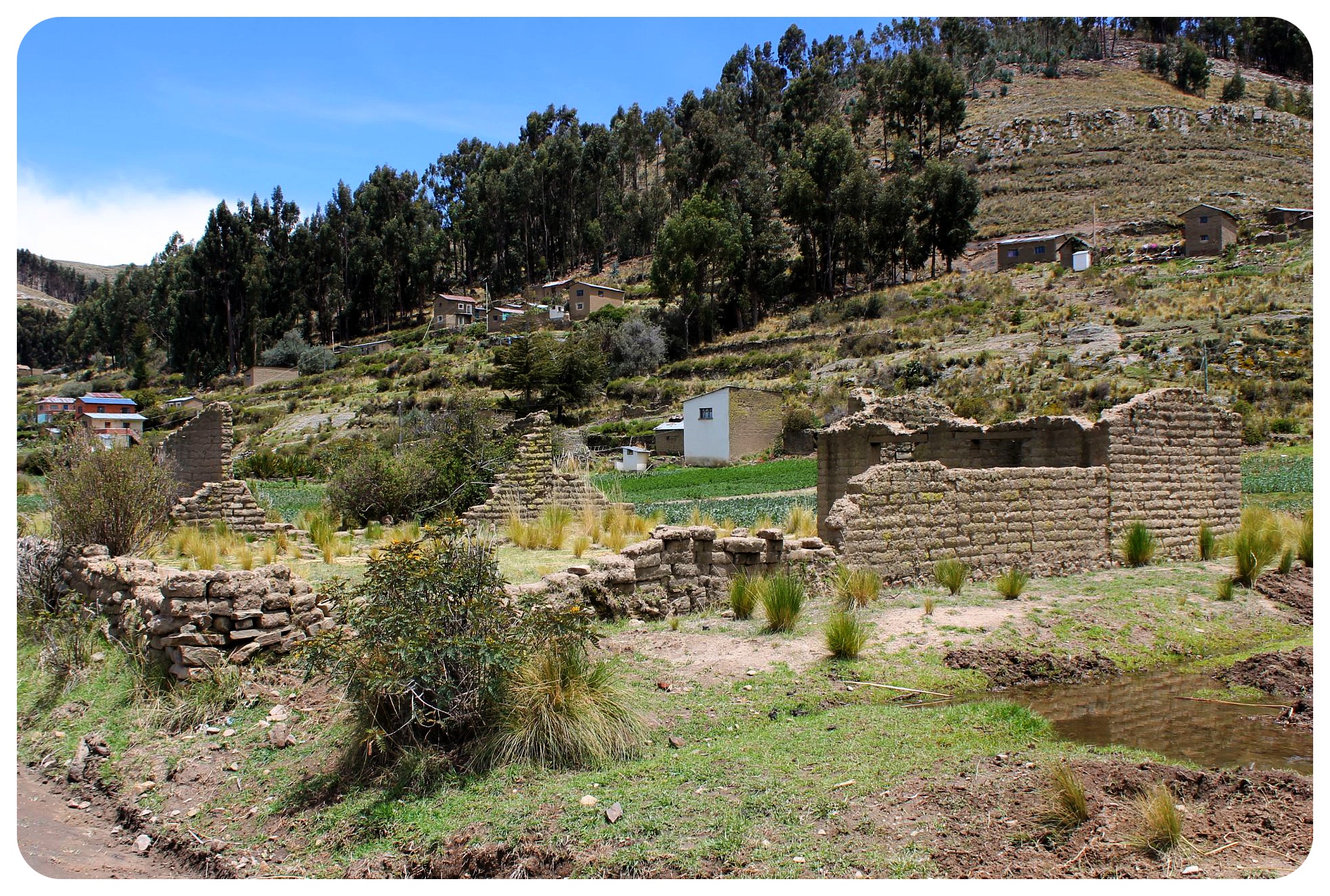
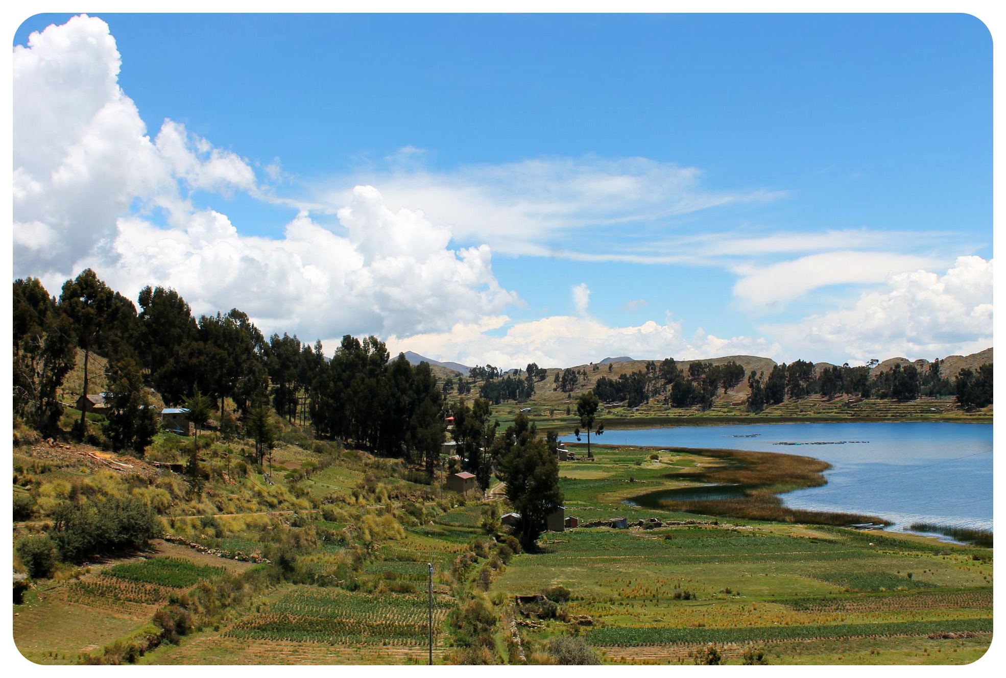
 Up to here, the road had been following the shoreline the entire time, but now it turned away from the lake. Many empty ruins sat along the way, remnants of settlements that had been erected and left many moons ago. They added to the sinister atmosphere in this isolate place, making me wonder what it must have looked like here at the height of the Inca empire.
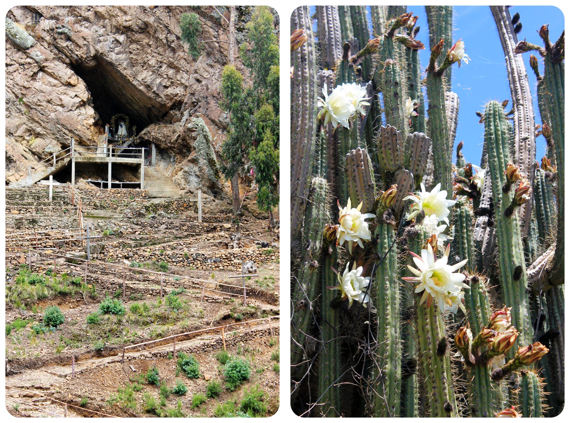
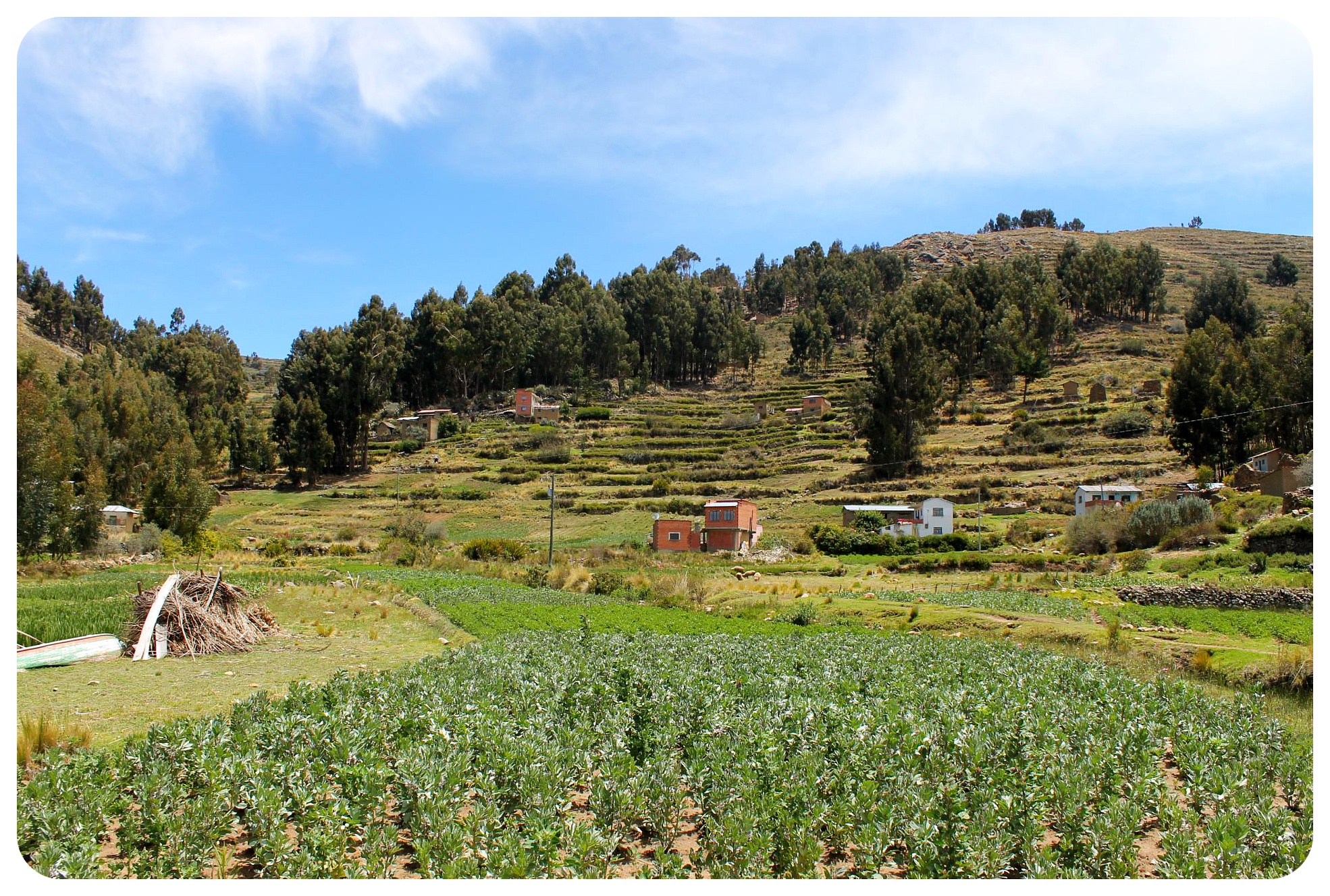 We passed a religious shrine inside a cave, followed by a steady climb to the top of a hill. The altitude was hard to get used to and I felt like I was huffing and puffing more than ever before, walking slower than an 80-year old woman. When I reached the top, I was rewarded with views over the Camino Precolombino, and the road luckily went downhill again towards the water.
 Near the lake we reached the only bigger village after a few lone houses along the road. We were greeted by chickens, dogs, sheep and some farmers who were working their fields.
 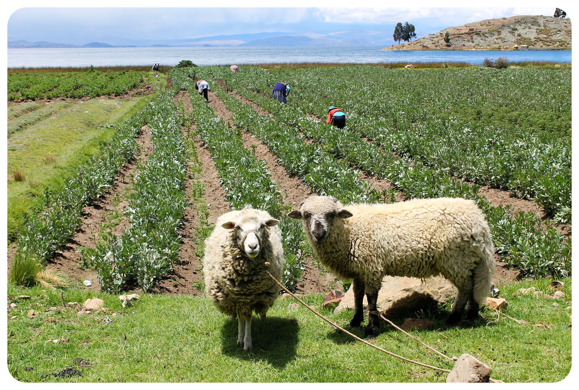 Up until this hike, I didn’t have the best impression of Bolivians – they didn’t seem overly friendly or welcoming, most of them seemed to see you only as a walking cash dispenser. But here, in this part the country where people barely ever get to see foreigners, we were greeted with smiles, hellos, and in the next village over by the sweet Don Hilario.
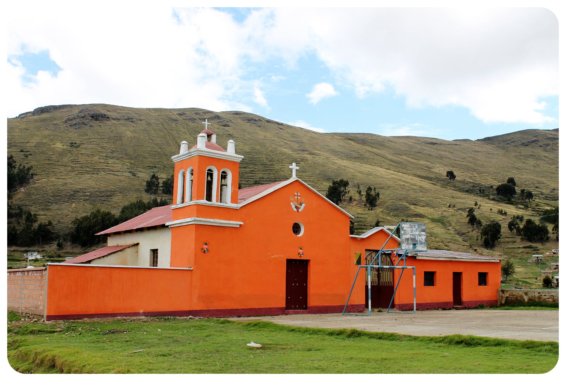 After waving goodbye to the old man, we had another uphill walk to make it through, and at this point we were fairly tired. My legs hurt, I was hungry, and I was ready to lay down.
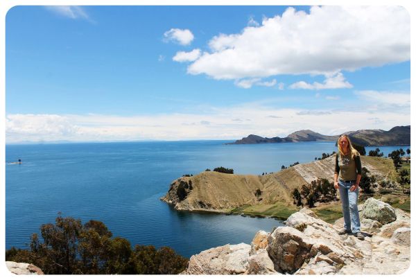
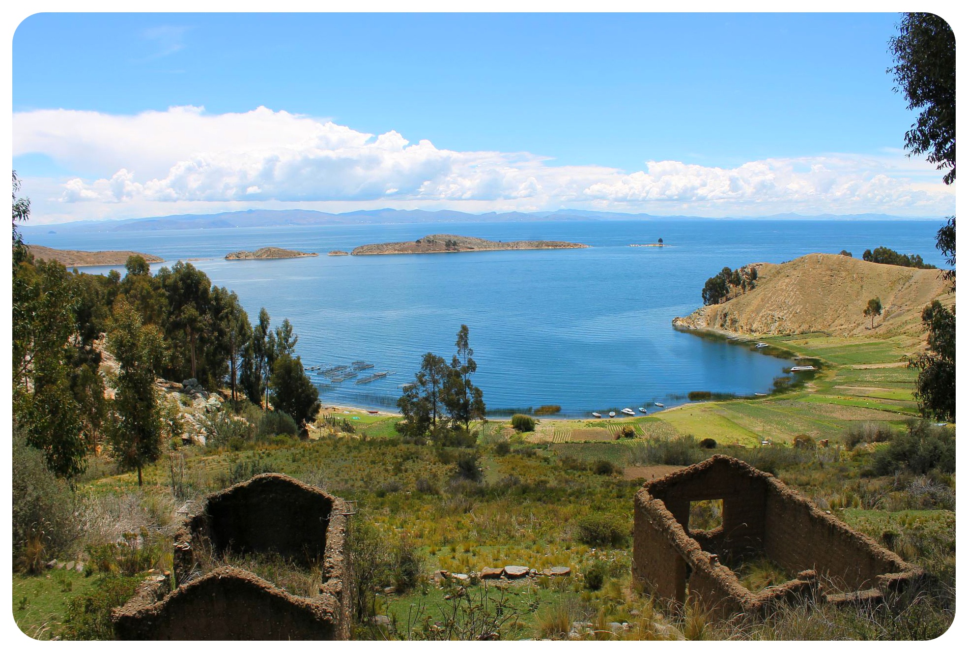 Once we made it to the highest point though, the fine views over the lake and the islands, the green fields and Yampupata below us made it all worth it. Now that I could see the end point, I felt a boost of energy run through me, and I knew I could do it.
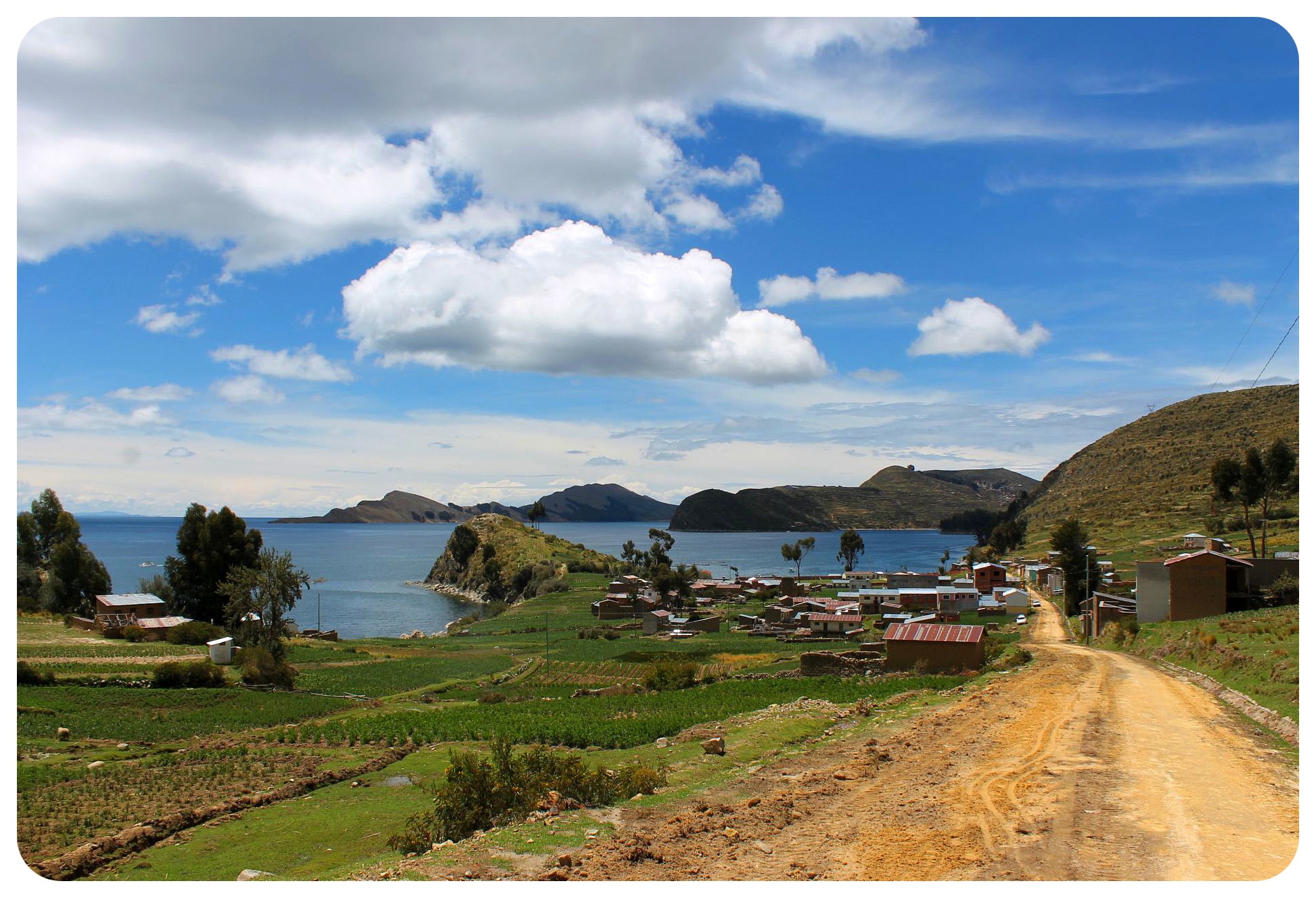 When we reached the village, we didn’t stick around long – we could have taken a boat over to Isla del Sol straight from here, but we wanted to hike across the entire island and knew that we needed more time (and some rest before the next big hike).
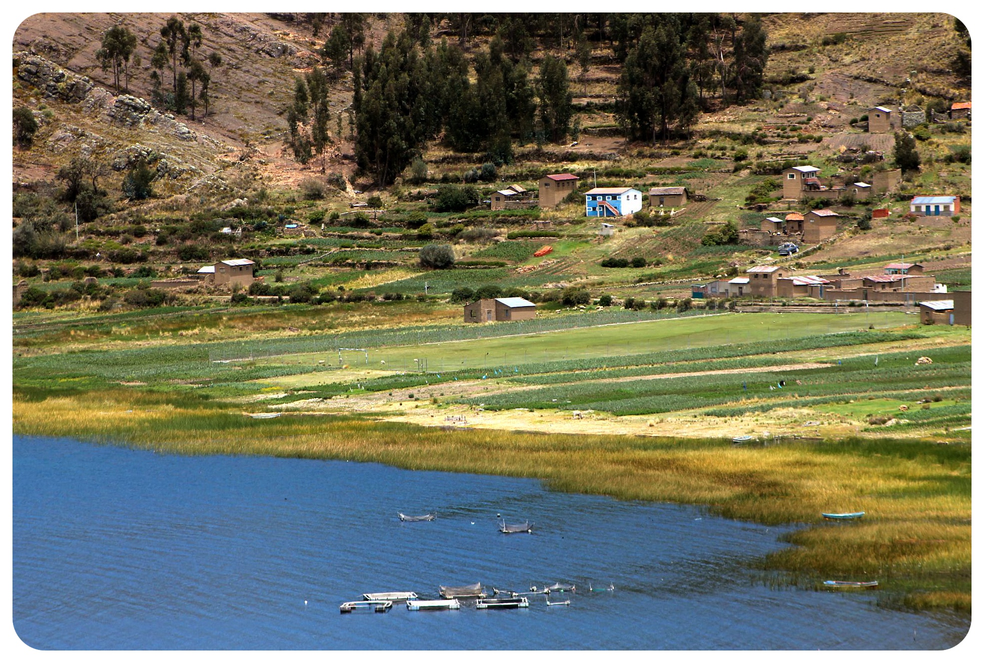 Luckily we found a taxi that was heading to Copacabana right away (10 bobs per person) and only half an hour later, we were back where we started.
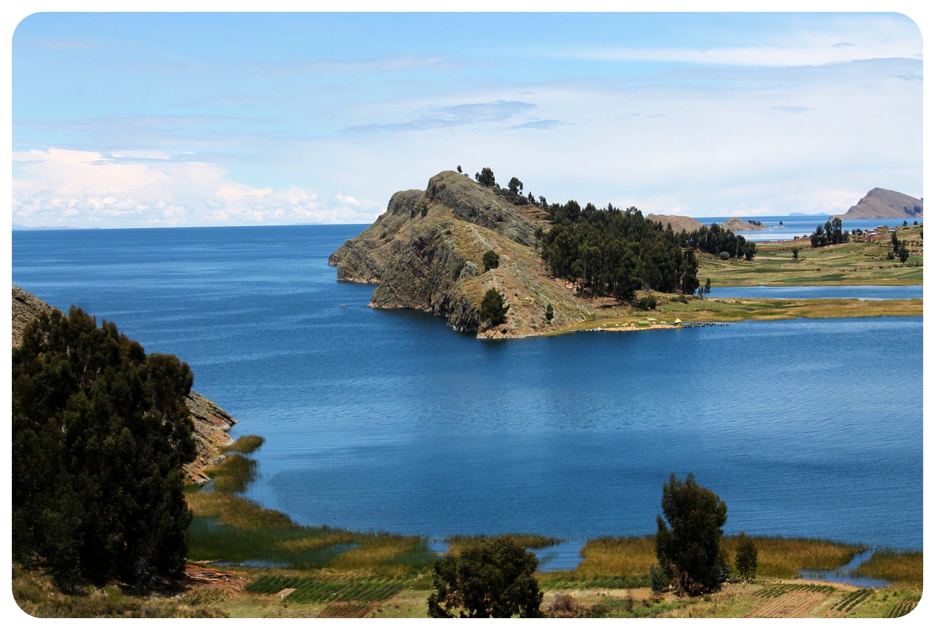 The achievement of the hike felt extraordinary – and got me even more excited for the hike through the Andes to see the lost capital of the Incas, Machu Picchu. But up next was the mystical Isla Del Sol…
Hiking Lake Titicaca – Practical information
The hike was definitely longer and harder than expected – it’s more like 19 or 20 km, not 17 as I had read. The road was also much more hilly (up and down) than I had thought.
It took us a total of 5 hours to get to Yampupata (incl short breaks and the 30-min chat with Don Hilario).
Pack snacks and water, as there aren’t really any shops along the way.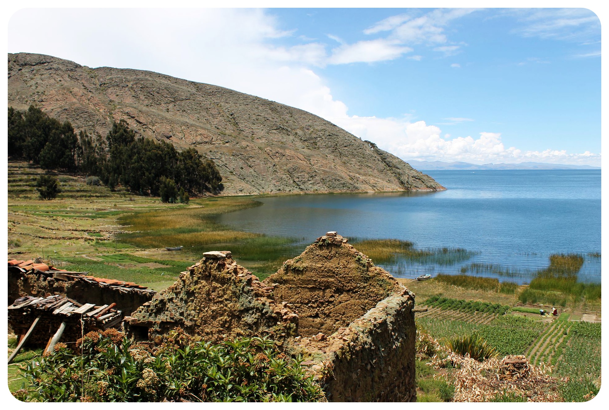



5 Incredible Bolivia Landscapes - The Discoveries Of.
Thursday 17th of November 2016
[…] alone can’t describe the size of Lake Titicaca but the figures will give you a good idea of the sheer scale of this lake, which straddles the […]
Damir Delaney
Saturday 2nd of July 2016
Loving your pictures of my favorite lake in the world. Personally I am not very good at taking pictures..but on lake titicaca it is different. The extreme heights an the clear sky render all pictures into something diving. Oh..and year you are right: taking things slowly once you arrived at Lake titica is a good idea. The hight takes its toll! After two days I usually feel fit enough to do proper hikes, though (still walking upwards takes a lot of energy. hihi)
Andreas Moser
Wednesday 2nd of March 2016
Beautiful photos, interesting story and useful practical tips!
The Top 30 Attractions in Peru - TourTheTropics.com
Monday 15th of February 2016
[…] llamas walking behind their local owners. Some travel bloggers who visited Lake Titicaca are Dani from Globetrottergirls.com and Samuel from […]
The 16 Best Lakes & Rivers to Tour in the Tropics - TourTheTropics.com
Tuesday 2nd of February 2016
[…] can visit the islands from the town of Puno. Some travel bloggers who visited Lake Titicaca are Dani from Globetrottergirls.com and Megan from […]